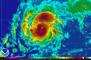
Typhoon Talim, an active western Pacific storm, churned over warm ocean waters on Thursday, September 14, as it takes aim at Japan with damaging winds and heavy rain.
“Eastern China will receive a glancing blow from Talim as it pushes through the East China Sea towards the island of Kyushu, Japan,” AccuWeather Meteorologist Adam Douty said.

Talim is a strong system and is expected to continue along a mostly northeastern track, according to the Japan Meteorological Agency. Typhoon Talim will impact Japan through much of this weekend and on into Monday.
The storm currently maintains sustained winds of 213 km/h (132 mph), as strong as aU.S. category 4. With little wind shear in the forecast, the typhoon is likely to hold most of its strength as it slams into southern Japan. After landfall, Talim should begin to rapidly weaken.
Rain and wind threats could reach as far as eastern China and southern South Korea, with the worst conditions likely felt in the Japanese islands Kyushu, Shikoku and parts of Honshu.
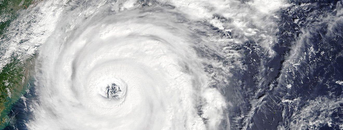
Typhoon Talim remains on track to barrel across Japan with damaging winds, rain & a storm surge this weekend: https://t.co/ryVMnuXBUs pic.twitter.com/jum3qa46LE
— AccuWeather (@breakingweather) September 15, 2017
Areas in southern Japan may see up to as much as 25.4 cm (10 inches) of rain. With this much inundation, some locations will experience flooding and mudslides.
By Monday, Talim should deteriorate to widespread scattered thunderstorms.